With 47,695 hectares of Protected Natural Areas and UNESCO Biosphere Reserve status since 2009, Fuerteventura has a rich biodiversity and the largest desert and semi-desert in Europe. The island offers some 255km of well-marked hiking trails, many of which are part of the larger Canary Island Trail. Whether you fancy a short flat ramble or full-on week of hiking, you will find walking in Fuerteventura is a great way to discover the island.

When to Go
Like neighbouring Lanzarote, Fuerteventura is quite low lying, meaning it receives less rainfall than the more westerly Canary Islands. Between November and April is the best time for walking as it is a little cooler, though you will still need suncream and a hat. The trade winds can bite after a while, so we recommend that you take cotton wool or earplugs to protect your ears (and a buff or hat).
Dust laden winds carried from the Sahara by the sirocco are called Calima. In the summer, temperatures during a Calima can reach up to the 40s°C and it is not good to exert yourself in the dusty air (especially if you have any respiratory problems). For this reason, hiking is not recommended during a Calima.
Suggested Routes
On Fuerteventura the GR 131 (also known as the Camino Natural de Fuerteventura) runs almost continuously from Corralejo in the north, to Punta de Jandia in the south. There are a few sections (such as La Pared to Pajara) that are not completed.
Pico de la Zarza (walking trail reference: PR FV 54)
The highest point on the island is Pico de la Zarza (814m), accessed via the resort of Jandia. It takes about 3 hours to walk to the summit, from where, weather-permitting, you will be rewarded with spectacular views of the virgin beaches of Sotavento. Pico de la Zarza is often shrouded in cloud though, thanks to the moisture-laden trade winds. To access the route with a car, drive up towards the golf club behind the Barcelo and Occidental hotel and park by the water pumping station. If you are on foot, start the trail from the seafront promenade by the Ventura shopping centre.
Vega de Río Palmas – Las Peñitas Dam (walking trail reference: SL FV 27)
This trail follows the Rio Palmas river (dry most of the year) from a small village past a silted reservoir and into a granite gorge to a small white-washed hermitage. The walk takes about an hour.
Trail Markings

The trails on Fuerteventura, are split into three types of route;
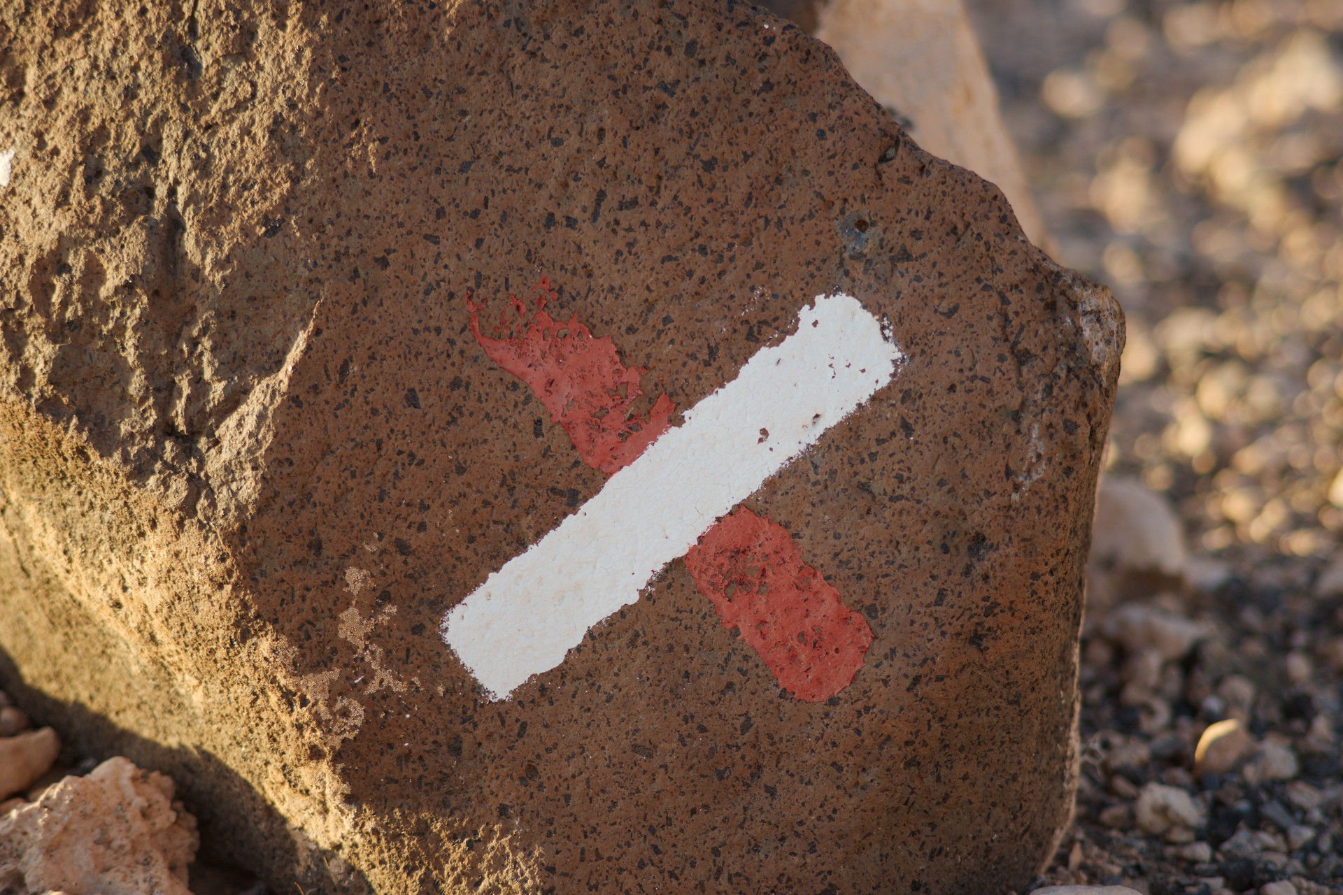
GR (great routes) – white and red stripe sign
PR (small routes) – white and yellow stripe sign
SL (local trails) – white and green stripe sign.
Most trails are well marked with colour coded striped signs painted on posts, signs and rocks to guide you throughout your walk.
For more detailed information on hiking trails in Fuerteventura please follow the link below:
Spanish Government Website (in English) with maps, routes and detailed information.
Free guide to the Hiking Trails of Fuerteventura in PDF (Spanish):
Ruth
Hi the link to the English maps is broken?
administrator
Thanks for letting us know – the link has now been updated to the new url.
Mary Conlon
Good Morning,
I am intending to travel to Fuerteventura in February 2020 and walks like Pico de la Zarza (walking trail reference: PR FV 54) would really interest me. Are there any walking groups or Walk Leaders I could contact to walk with.
Regards
Mary Conlon
administrator
Hi, There is a Walkers Facebook Group in Corralejo – though that is very far from Pico de la Zarza. There are also some guided Hiking Excursions available from Morro Jable.
Elizabeth Craig
We are a group of two couples wanting to walk from Jandia Fuerteventura to Correlego either in May or June 2019. We don’t want it to be too strenuous or to be climbing hills, if it can be avoided. It would be good to walk about 12 miles per day. We would be grateful if you could send us a route with places we will walk to and stay in on the walk. If this is not the appropriate place to ask for this, could you recommend to us where we can get the above information. Thank you for your time.
administrator
Hi, The link at the bottom of the main article is to a PDF with a map of the main GR131 route. I haven’t walked the route in it’s entirety, but I am familiar with the Betancuria-Pajara section which is the most mountainous. It is also a very pretty section (and you should make the short detour to the nearby Barranco de las Peñitas) and the altitude actually provides some relief from the heat in some of the flatter areas of the island. For accommodation, you will need to find ‘casas rurales’ along the route – I can recommend Casa Arminda in Betancuria, but am unfamiliar with the others: this is a link that I found in Google, so I can’t vouch for it:
https://www.casasrurales.net/casas-rurales/fuerteventura
You might consider skipping the sections of the island where there is no walking path as you would need to walk on the road for these.